Methods for hydrological data analysis
Methods are developed or improved for the hydrological data analysis and proffered to be used as a toolkit in civil engineering, operational forecasting, applied hydrology and environmental studies. They consist of procedures and algorithms that may be displayed in the following table:
| Procedure | Digital taxonomy of river basins | Kriging with allowance for relief and landscapes | The Informative-mapping analysis |
| Purpose | 1.Regionalization
2. Choice of representative basins | 3. Interpolation
4. Mapping
5. Averaging | Synthesis of spatial patterns |
| Spatial scale | Regions | River basins | Small catchments
|
|
Respective methods have contributed to the following particular projects and publications:
- Modeling the snow cover spatial distribution (Shutov, 1994, 1995, 1998a, 2000)
- Study of the water cycle in a small experimental catchment (Shutov, 1996, 1998b)
- Mapping of the snow water contents over river basins (Shutov, 1994, 1998a)
- Applied hydrological regionalization for the design of gas pipeline routes (Shutov and Kapotov, 1996, 1998, 2000)
- Improvement of spring flood forecasting in the Belaja river basin (South Urals Mts.) (Shutov and Kaljuzhny, 1997)
- Processing the radar-based precipitation measurement data for engineering hydrology (Shutov, 1999, 2000)
- Improvements in satellite-based remote sensing against the ground truth data (in press)
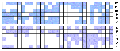
Taxonomy of drainage basin attributes in northern Russia
Attributes are the physiographic features (1 to 6) and spring flood characteristics (7 to 12)

Kriging - interpolation of the snow water contents (mm) on the Valday Hills
Using only standard survey data (left) and with allowance for elevation (right)

INFOMAP - Informative-Mapping Analysis for snow water equivalent (SWE)
Modeled are the SWEs (mm) as distributed over an area depending on the attributes.
Conventional ranks M determine the Local snow accumulation coefficient (LSAC)
|
